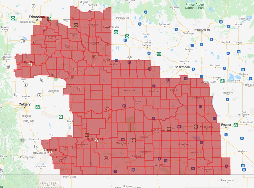
Environment Canada has issued a severe thunderstorm watch for the Moose Jaw area, along with tornado watches for regions just west of the city, moving into the local area as the evening progresses.
A massive system currently developing in Alberta and the northern U.S. is expected to move into Saskatchewan in the late afternoon and bring with it extremely severe weather.
That includes winds with gusts in excess of 120 km/h, 50 to 75 millimetres of rain with the potential for flooding, heavy lightning and potential golf-ball sized hail. The risk of tornado activity is also high, two days after three funnel clouds touched down in southwestern Saskatchewan.
The situation is severe enough that professional tornado chasers were expected in the area, including Saskatchewan's own Greg Johnson, who planned to keep an eye on the Trans-Canada highway between Moose Jaw and Herbert.
According to instantweather.ca, discrete storms will form along a surface trough in the early evening, bringing the aforementioned risk of tornadoes, large hail and damaging winds. That storm front is expected to transition into a squall line, with the risk of even stronger winds. The squall will roll east across the southern part of the province before moving into Manitoba early overnight.
As of 2:30 p.m., storms were organizing rapidly along the Saskatchewan-Alberta border, with heavier activity tracking north east from northern Montana.
Be sure to watch weather.gc.ca or your favourite weather app for the latest updates and be prepared in case severe weather hits.


