A number of Saskatchewan communities have been flagged for their high risk of potential flood damage, as part of a province-wide flood mapping project being funded by the Government of Saskatchewan and the National Disaster Mitigation Program.
The Water Security Agency (WSA) is administering the flood-mapping, in an effort to improve the resiliency of these 20 high-risk communities in the face of climate change.
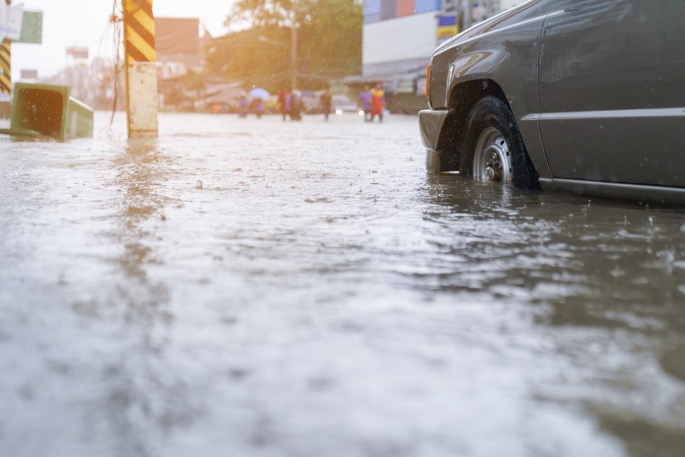
Identifying areas that could see potential flooding caused by overflow from nearby rivers or lakes allows communities to be better prepared for such an event, to help mitigate the damage done by such an unpredictable natural disaster.
Moose Jaw has been identified as a high-risk community, alongside cities such as Regina, Saskatoon, Weyburn, Melfort, and Yorkton.
Smaller towns, such as Cudworth, Foam Lake, Eastend, Maple Creek, Wadena, Air Ronge, Tisdale, Borden, and more are also on the list.
The funding for the flood mapping project totals $1 million and gives the 20 high-risk communities access to flood maps and hydraulic models for their area at no cost, to help them prepare for potential future flooding.
Flood mapping is one of the measures of resilience set forward by the Government of Saskatchewan in their Prairie Resilience climate change strategy.


